
Landscape Study: Mapping the Deep Swamps of Louisiana
by artemin01 · 2026-09-23 · Maps
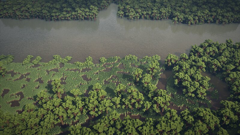
My previous projects dealt with very different geographies. Marietta, Indiana was defined by flat, dry agricultural grids. Warfield, Kentucky was a study in extreme Appalachian mountain elevation and rock formations. Louisiana is a completely different geographic beast. Down in the Mississippi Delta and the Atchafalaya Basin, there is practically zero elevation gradient. The landscape is a constant, losing battle between soil and water, resulting in an environment where the line between solid ground and open river is completely blurred. The Test Site: Bayou Boeuf To test if I could accurately recreate this biome at a 1:1 scale, I mapped a 500x500 meter slice of Bayou Boeuf near Houma, Louisiana. The centerpiece is a massive, 130-meter-wide canal. On one side sits a dense, old-growth swamp forest. On the other, an open, flooded coastal marshland. The Hydrology & The Marsh Illusion The hardest part of recreating a Louisiana marsh is the visual illusion. From a distance, a coastal marsh looks like a solid, flat, green agricultural field. In reality, it is a treacherous mix of saturated hydric soil, hidden water channels, and mud. To capture this, I engineered the ground to sit complet